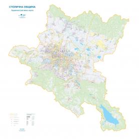
Thematic maps
On your request we can produce detailed and overview maps of Sofia and Sofia Municipality on different scales and on various topics with routes, sights, communications, transport.
 |
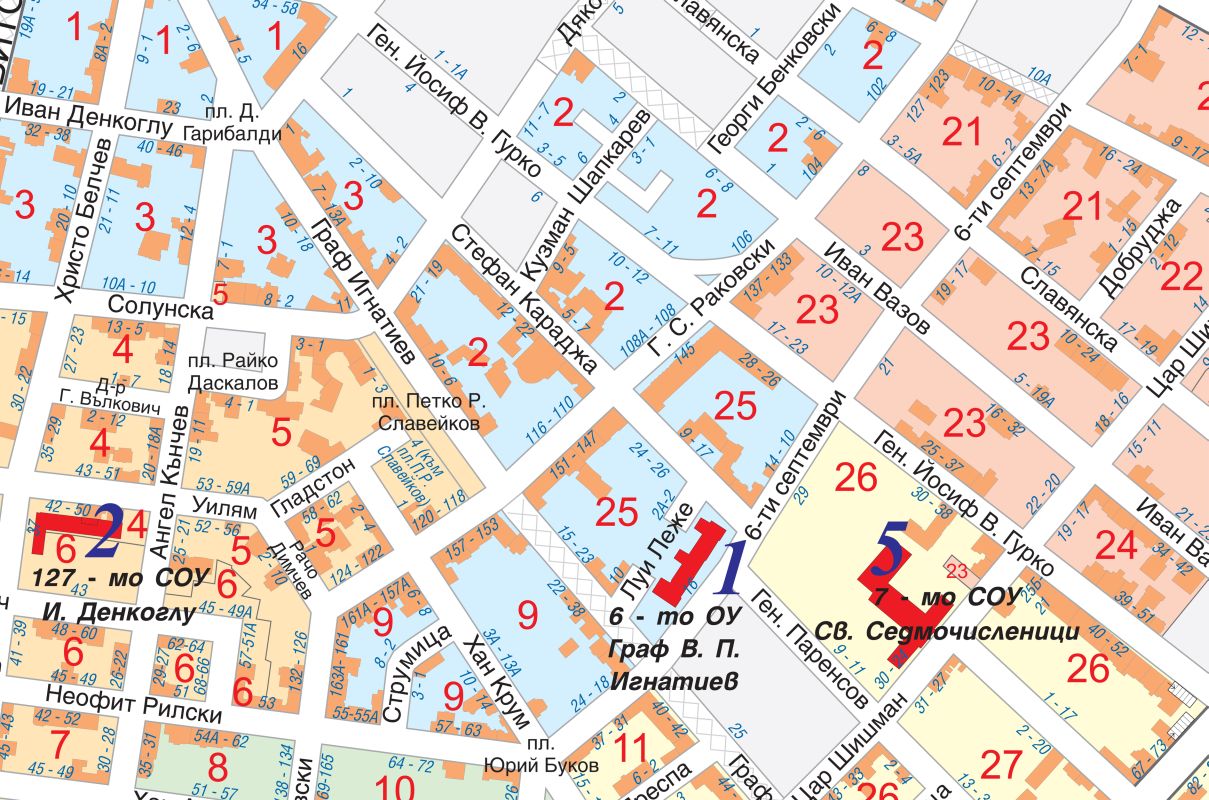
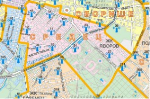
Map of polling stations and voting sections within an administrative are
The map is available for each of the 24 districts of Sofia Municipality, and it contains information on:
- Number of polling station
- Number of the voting section
- Place of voting
|
|
|
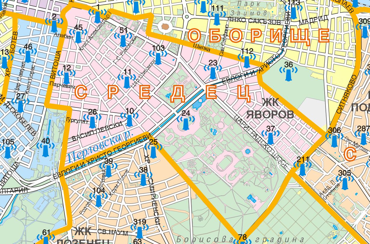
Map with the location of sirens for warning of the population
The map is at scale M 1:30 000 for the territory of Sofia Municipality, and contains information on:
- Number of a siren
- Address of a siren
- Type of a siren
|
 |
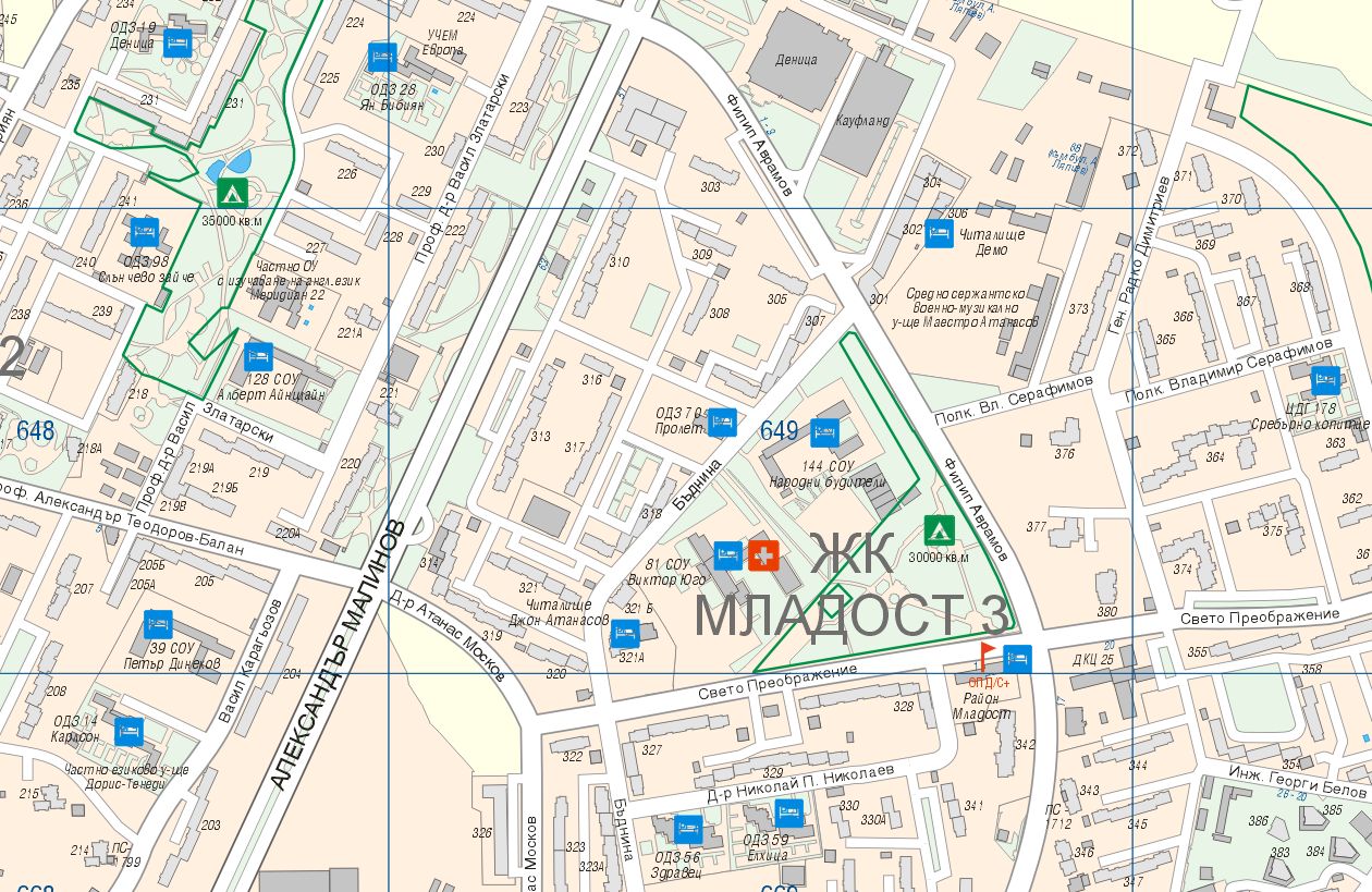
Map with stations for protection of the population in case of disasters or emergencies
The map is available for each of the 24 districts of Sofia Municipality, and it contains information on:
- Stations supply and distribution of potassium iodide tablets
- Buildings for accommodation for temporary removal of the population
- Collection evacuation points
- Tent camp site
|
 |
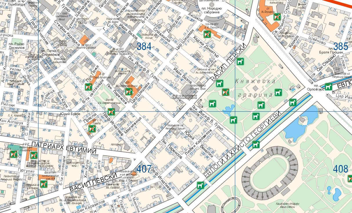
Map with places for walking pets
The map is available for each of the 24 districts of Sofia Municipality, and it contains information on the permitted and forbidden places for walking pets.
|