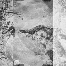
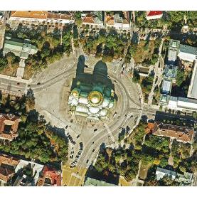
Processing aerophoto and satellite imagery
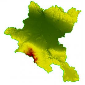
Generating a digital terrain model
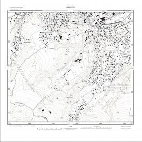
Digital terrain models (DTM) are widely used in the study and planning of a number of processes (eg. studying the condition of the protective dikes along the rivers, modelling the flood risk, assessment of the volumes, etc.). The creation of accurate orthophotoplans is impossible without an accurate model of the terrain.
DTMs contain data for the relief in the form of points with known coordinates and altitudes, in the form of a horizontal or georeferenced raster image whose pixels carry information about the altitude. The extraction of data about the terrain can be done manually or automatically. The accuracy of the DTM depends on the resolution of the pictures, on the accuracy of the aero-triangulation, on the method of generating of the DTM.
In order to obtain up-to-date spatial information successfully, we implement the aerial photographing of Sofia Municipality (all through the years between 2006 and 2011) with a pixel size on the terrain of 10-20 cm
Services of the same category